14 HANSON RD
Owner Information
BROWN WILLIAM P
14 HANSON ROAD
DANVERS, MA 01923


Property Details
14 HANSON RD is classified as a Single Family Residential (Colonial).
The primary structure on this property was built in 2011. There are 2,448ft2 of built area within this property. There is 2,448ft2 of residential/living space within this property. This property is listed as having 8 rooms.
14 HANSON RD is valued at $710,300. The land is valued at $307,800 and the structures are valued at $402,500.
This property is in Zone R2. Confirm with local Zoning Board authorities to ensure there are no overlays or other easements on this property.
The most recent deed for 14 HANSON RD is recorded at the local registrar in Book 31259, Page 124. 14 HANSON RD was last sold on Tuesday, April 17, 2012 for $540,000.
Assessment data from fiscal year 2022.
Flood Data
According to the FEMA National Flood Hazard Layer, this property does not appear to be in a flood zone. It may also be in an area not yet reviewed. Nonetheless, confirm this information prior to taking any action.
To view the flood hazards around this property, create a FEMA "Firmette" Map of the area around 14 HANSON RD.
Broadband Internet Providers
| Provider | Type | Bandwidth (mbps) | |
|---|---|---|---|
| T-Mobile | Fixed Wireless | 25 | 3 |
| GCI Communication Corp. | Satellite | 0 | 0 |
| HughesNet | Satellite | 25 | 3 |
| VSAT Systems, LLC. | Satellite | 2 | 1 |
| Crown Castle Fiber | Fiber | 0 | 0 |
| Viasat Inc | Satellite | 100 | 3 |
| Verizon New England Inc. | DSL | 5 | 0 |
| Verizon New England Inc. | Fiber | 940 | 880 |
| Comcast | Cable | 1000 | 35 |
Broadband service provider data from December 2020.
Adjacent Properties
- 11 HANSON RD
Single Family Residential owned by KNIGHTS DAVID K - 12 HANSON RD
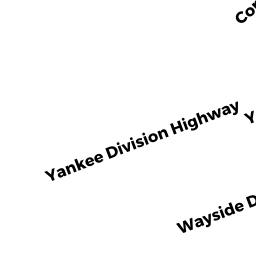
Housing, Other (Charitable Org.) owned by TURNING POINT INC. - 235 YANKEE DIVISION HWY
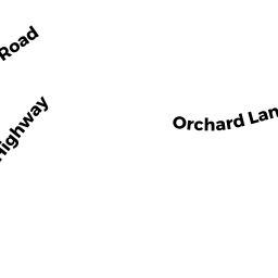
Vacant, Selectmen or City Council (Municipal) owned by TOWN OF DANVERS - 14 PEACH TREE LANE
Undevelopable Residential Land owned by FOLLY HILL DANVERS LLC,